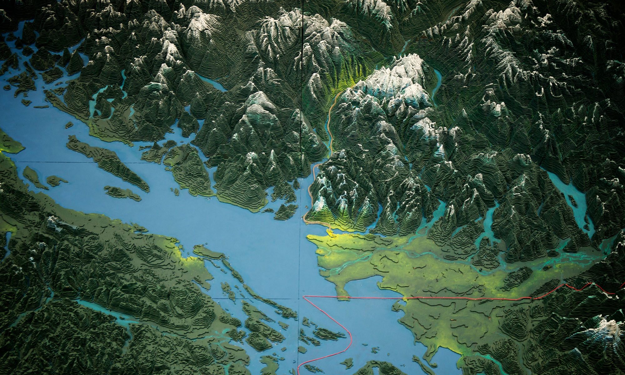
On August 19th, 2021, members of the Challenger family and a team of supporters launched a campaign to restore and bring the Challenger Map back to its original home at the PNE.
The map is over 6,000 square feet and is the size of two tennis courts. It was constructed out of almost one million pieces of jig-sawed, layered, and hand painted 1/4″ Douglas Fir plywood.
It’s one of the most iconic pieces of heritage in the province and has the potential to become a tool which will educate a new generation of British Columbians about this wonderful place in which we live.
Plans are now underway to assemble a team of experts to restore, refresh, and rehouse the map in the historic Livestock Building in Hastings Park, incorporating modern digital technology to update this once-static relief map.
We are in need of the public’s help to raise the needed funds, and are humbly asking for your help in bringing it home.
Cover Image: John Biehler on Flickr https://www.flickr.com/photos/retrocactus/
B/W Image: People viewing Challenger relief map of British Columbia in P.N.E. B.C. Building, 1954
City of Vancouver Archives AM281-S8-: CVA 180-5611-: CVA 180-5611.1
